
About Kasol
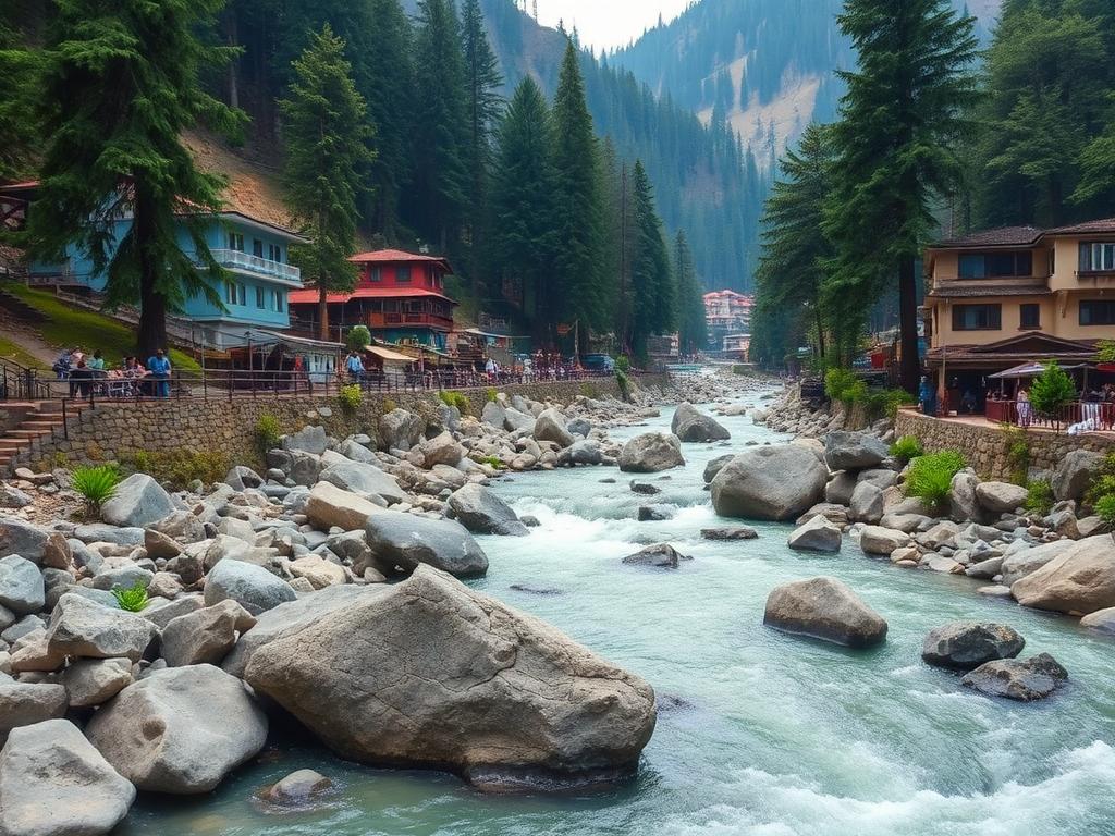
Kasol sits along the Parvati river with the road running through it, which is why the village feels like one long street.
Most people use it as a base for the valley above — Manikaran, Tosh, Kalga and the trailheads beyond.
Getting around Kasol
- The valley road is single-carriageway in places and slow in season.
- Bhuntar is the nearest airport and the usual entry point.
- Vehicles reach Barshaini; beyond that most villages are on foot.
- Landslide-prone stretches can affect timings in monsoon.
At a glance
- Region
- Parvati valley, Kullu district
- Altitude
- ≈ 1,580 m
- Best time
- March–June, September–November
PahadiSawari services here
- Advance Booking from Bhuntar airport
- Outstation from Manali, Kullu and Chandigarh
- Sightseeing across the Parvati valley
- Local Rides between valley villages
Routes
Popular routes from Kasol
BhuntarKasol
Standard arrival route into the valley.
KasolManikaran
Short drive up the river.
KasolBarshaini
Road head for Tosh and Kalga.
KasolManali
Back down the valley and north.
Sightseeing
What to see around Kasol
- Parvati riversideBoulder banks right beside the village.
- Manikaran SahibGurudwara and hot springs.
- ToshVillage above Barshaini, reached on foot.
- ChalalShort walk across the river.
Travel tips
Before you go
- Road conditions in the valley change with weather — keep plans flexible.
- Cash is useful; connectivity is patchy higher up.
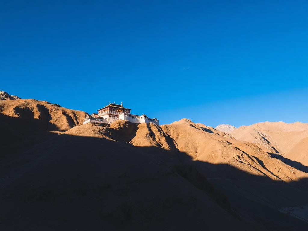
- Respect local villages and monastery etiquette.
FAQ
Kasol travel questions
Rider App
Your next ride is one tap away.
Set your pickup, choose your ride and follow your driver in — all from the PahadiSawari Rider App.
QR code placeholder
Coming soon toGoogle PlayComing soon toApp Store
Already have PahadiSawari? Open the app
9:41PahadiSawari
Driver on the way
DriverVerified
VehicleHP registration
Start OTP••••
Share trip

Travelling to Kasol?
Book your rides in the PahadiSawari app before you arrive.